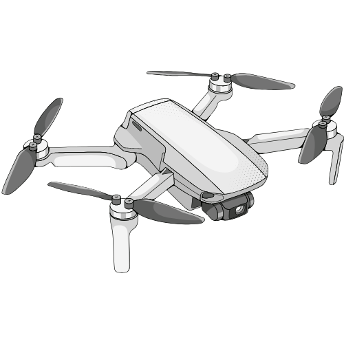
Surveying and Mapping
Precise, efficient surveying, with applications across industries from construction to agriculture.
Precise and efficient surveying techniques, applicable across diverse industries such as construction and agriculture, facilitate the collection of faster, more accurate, and cost-effective data.
- High-Resolution Imaging: Drones equipped with high-resolution cameras and advanced sensors can capture highly accurate images of the terrain or property. With the help of photogrammetry, the drone’s images can be used to generate precise 3D models, topographic maps, and digital elevation models (DEMs).
- Accurate GPS and Georeferencing: Drones with GPS capabilities, particularly RTK (Real-Time Kinematic) drones, allow for centimeter-level accuracy, significantly improving the precision of surveying data.
- Thermal Imaging: Drones provide precise thermal mapping and safe access to hazardous areas.
- Rapid Data Collection: Drones can cover large areas quickly compared to traditional land-based surveys. Aerial surveying with drones can complete tasks in hours or days, which might take weeks using conventional methods.
- Real-Time Data: Drones can provide real-time feedback, allowing surveyors to analyze data immediately and make any adjustments during the survey process. This reduces delays in the field and speeds up decision-making.
- Lower Operational Costs: Drones reduce the need for expensive equipment, such as survey-grade GPS, total stations, or aerial manned aircraft. Drones are also more affordable to operate in terms of labor, as fewer personnel are needed for tasks like setting up survey stations and managing equipment.
- Minimized Equipment Costs: Traditional surveying methods require costly equipment for manual data collection, but drones can complete many tasks using one device with a relatively low upfront investment.
- Hard-to-Reach Locations: Drones can easily access areas that are dangerous, difficult, or expensive to reach with traditional surveying methods, such as remote mountain terrains, steep cliffs, dense forests, or flooded areas. This minimizes risks to surveyors and reduces the need for specialized equipment.
- Safety Benefits: Drones can reduce the need for surveyors to climb dangerous structures, work at heights, or venture into hazardous environments, reducing the likelihood of accidents and improving overall safety.
- Immediate Results: Many modern drones provide real-time data processing on the field, which allows surveyors to assess the collected data immediately. This quick feedback loop can lead to faster decision-making and a more efficient workflow.
- Integrated Mapping Software: Drones often work seamlessly with specialized mapping and surveying software to process collected data and generate detailed maps, models, and reports without needing extensive manual data handling.
- Visual Records: Drones create an extensive visual record of the survey site, capturing images and video from different angles and heights. This documentation can be used for future reference, inspections, or as evidence for regulatory purposes.
- Easy Sharing: Digital data captured by drones is easy to share and collaborate on. Surveying teams can access the same information from different locations, facilitating remote consultations and enabling more collaborative workflows.
- Accurate Topographic Maps: Drones allow for the creation of highly detailed and accurate topographic maps by capturing precise elevation data. This is invaluable for civil engineering, construction, and environmental planning.
- 3D Modeling: Drones create detailed 3D models for planning, design, and analysis.
- Easier Collaboration: Drones can simplify communication between field surveyors and office teams. By providing immediate data, aerial imagery, and models, drones help streamline coordination between different project stakeholders.
- Efficient Stakeholder Updates: Drones allow project managers and stakeholders to easily monitor the progress of large projects by accessing aerial views and 3D models without needing to be on-site.
- Property Boundaries: Drones can be used to capture high-resolution imagery of property boundaries, helping surveyors verify land ownership and resolve disputes. This documentation can be particularly useful in legal cases related to land claims.
- Historical Record: Drones can capture a historical record of the landscape or construction site over time, which can be valuable for future reference or when tracking changes to the environment.
- Data Flexibility: Drone-collected data can be processed into a variety of formats (such as orthophotos, 3D models, point clouds, etc.), which provides surveyors and planners with flexibility in analyzing the site from different perspectives.
- Post-Survey Reporting: Drones allow for the automatic generation of reports, reducing the need for manual analysis and speeding up the delivery of final results to clients or project teams.
Integrating drones into surveying and mapping provides significant advantages, including faster data collection, increased accuracy, cost savings, and improved safety. By leveraging drone technology, surveyors can enhance the quality and efficiency of their work, access difficult-to-reach areas, and provide more detailed, real-time data. Whether it’s for topographic surveys, environmental monitoring, or construction site mapping, drones are transforming how surveying and mapping tasks are completed, making them indispensable tools for modern land management and development.
Why Choose Chicago Aerials?
Choose Chicago Aerials for expert drone services backed by cutting-edge technology, tailored solutions, and a proven track record of success. We prioritize safety, efficiency, and eco-friendly operations to deliver exceptional results for every project. With unrivaled customer service, we’re committed to exceeding your expectations.

On-site Expertise
Top-Tier Equipment

Skilled FAA Certificated Pilots
Flight hours
Projects
Missions
Safety Rating

Chicago Aerials is an FAA Part 107-certified drone production company. With an FAA 107.29 Daylight Operations waiver, we are authorized to legally operate drones at night. Our top priorities are safety and strict adherence to FAA regulations.

We are deeply committed to delivering exceptional quality to our customers. To ensure the highest level of service and safeguard our clients’ assets, we maintain $5 million in liability insurance at all times.
2026 | Copyright Chicago Aerials. All rights reserved.